This Interactive Map Has Everything You Need to Plan a Trip to the Moosehead Lake Region
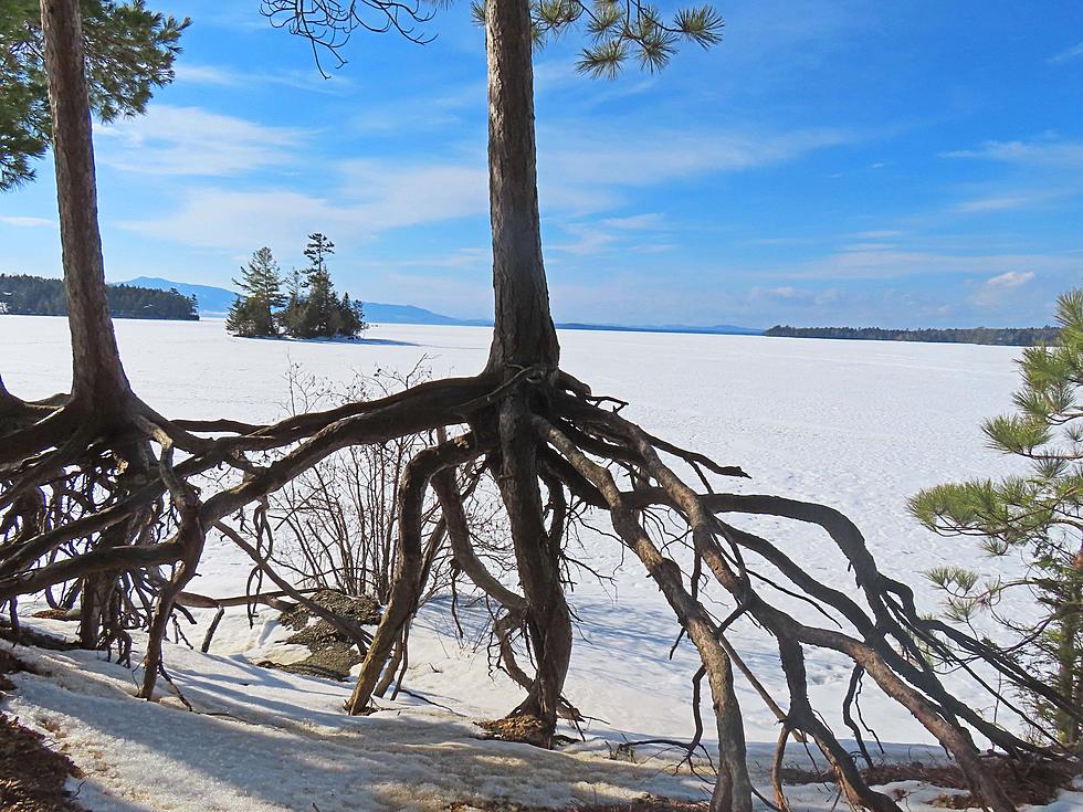
The Moosehead Lake region of Maine is one of our greatest treasures. There is so much to see and explore that it can be daunting. This interactive Google map helps make planing a trip up near Maine's largest lake a lot easier.
The map marks hiking, snowmobile and ATV trails along with campsites, boat launches, waterfalls, good fishing spots, beaches, and hidden gems in the area you might want to check out. It even points out locations where you might spot a moose. It will even give you directions to a location on your phone. You just might want to download the directions before you head out in case you hit spotty cell service.
On the map below, you can zoom in and out, click on icons to see what is there or look for things in the categories to the left and the map will show you where they are located. We've included a link to the map directly for a larger version or if you are having trouble loading this one.
More From Q97.9


