
100 Years Ago This Portland Neighborhood Was Underwater
Portland has gone through a lot of changes over its long history, but one of those changes made 80 years ago you probably never even knew about.
Tim Sullivan is one the people behind the very popular Facebook group
Portland Maine History 1786 to Present which shares photos from Portland's past showing the way things used to be. He posted a recent photo of Back Cove from 1895 that shows a very different view than we're used to.
Tim describes what you're looking at so you can get your bearings.
"The Portland peninsula from Back Cove circa 1895, looking south from near Gould Street off Washington Ave.
To the left in the distance, the tallest steeple is the Cathedral, to the far right is Portland Stoneware Co, about where Hannafords is today. The causeway was the Portland & Rochester Railroad that went from Gould's Wharf in the center, under Tukey's Bridge to Portland Junction at the Grand Trunk mainline; now the Bayside Trail. Since the 1850s, plans included filling in the shore of Back Cove, and to build Marginal Way around the peninsula to meet with Commercial Street; it wasn't until about 1940 this section of Back Cove was completely filled in. Note there is no Anderson Street in this photo, just a path: to the extreme left are the backyards of Hammond Street homes."
You can click on the post to get more details in the comments.
In 1940 a large portion of Back Cove was filled in where Marginal Way exists today. Basically everything north of Oxford street was all water. That explains why Marginal Way can sometimes flood in heavy rains.
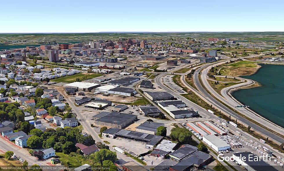
Imagine everything from Whole Foods down to U-Haul on Marginal way being part of Back Cove. Tim also posted a photo from Google Earth of what the same shot looks like today.

If you are history buff like me and are interested in seeing Portland's past, I highly recommend you join the Portland Maine History 1786 to Present Facebook group.
More From Q97.9


