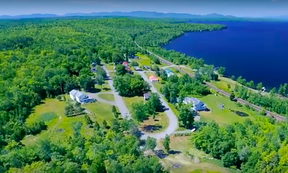
Check Out These Pictures From An Amazing Google Earth Flyover of Maine
We know you can't be traveling all over the State of Maine right now. So, we will bring the entire state to you in under five minutes! You've heard of Zoom calls? Well, get ready to zoom in and out of dozens of fun and historical places in the Pine Tree State. Now you can say you "visited" all these places in one day. I must confess that during all of this craziness with the pandemic, I am reminded just how much I love Maine. Not just because we have one of the lowest COVID "cases per thousands" number, but also just the resilient outlook of Mainers. Add in the beauty of our state and it really is heaven on earth. Google Earth in this case!
Pictures From An Amazing Google Earth Flyover of Maine
Now, get ready for your 5-minute flyover of the entire state. If might get a little dizzy but it's wicked fun.
You can find more information on the flyover locations here:
- Fort Gorges-in Casco Bay
- Thomas Hill Standpipe in Bangor
- The Portland Museum of Art
- Sunday River and Sugarloaf
- Funtown/Splashtown
- Eartha-the World's Largest Globe
- The State House in Augusta
- Tons of other cool places in Maine.
Fun Facts About Maine from Maine.gov:
- Population of Maine in 2010: 1,328,361
- Counties: 16
- Land Area: 30,843 square miles
- Length of Coastline: 3,500 miles
- Lakes and Ponds: 6,000
- Forest: 17 million acres
- Persons per Square Mile: 43.1
- Largest City: Portland
- State Capital: Augusta
- Statehood: Became the 23rd State on March 15, 1820
- 416 unorganized townships
- 32,000 miles of Rivers and Streams
- 65 lighthouses
- 320 miles long
- 210 miles wide
Can You Guess These Maine and NH Cities and Towns?
More From Q97.9


