
White to Wet: Storm to Bring Rain and Wind to New Hampshire, Maine
🌧️ Precipitation begins as snow and rain early Tuesday evening.
🌧️ Winds could gust to 55-60 mph along the coast, causing some minor flooding.
🌧️ High tides will be astronomically high Wednesday morning.
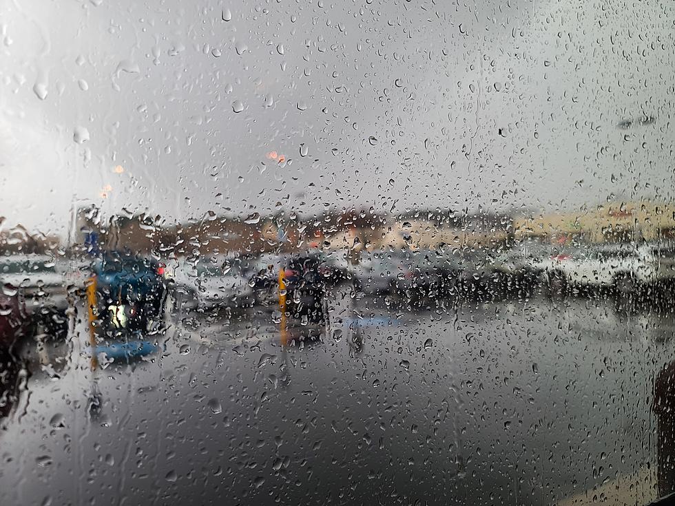
Following the weekend winter storm, which left at least a foot across much of southern New Hampshire and Maine, forecasters are watching another storm that will bring heavy rain, gusty winds, and possible coastal flooding.
The precipitation will start as a mix of snow and rain early Tuesday evening with some accumulation of snow of up to three inches inland before warmer air moves in early Wednesday and changes it to rain, according to meteorologist Jon Palmer at the National Weather Service in Gray, Maine.
"It rains pretty much most of the day on Wednesday," Palmer told Seacoast Current. "We are expecting almost two inches of rain across across the entire region."
A Flood Watch is in effect Tuesday night and Wednesday for possible flooding in poor drainage areas. Storm drains and ditches may become clogged with snow and other debris. Small stream flooding will also be possible.
A High Wind Watch is in effect Tuesday evening into Wednesday afternoon as winds out of the southeast at 25-35 mph gust to 55-60 mph right along the immediate coast and inland Wednesday morning. Winds will diminish in the afternoon to around 30 mph by afternoon.
Palmer said power outages are a concern. The snow will be heavy and wet before the changeover, and cling to branches and trees that could fall onto power lines. The gusty winds could also take down power lines.
Tides will also be at astronomical highs, which could also bring coastal flooding at the high tide after 10 a.m. in Hampton, according to Palmer.
Timeline of the storm:
- 6 p.m. Tuesday - Precipitation begins as a mix of snow and rain.
- After midnight Wednesday: Mixed precipitation turns to all rain as temperatures rise into the 50s.
- 9 a.m. - noon: Winds gust to 55-60 mph along the coast and nearby inland areas
- Wednesday afternoon: Winds subside, rain ends.
The weekend snow will absorb some of the rain, but the warmer temperatures and high winds will eventually break down the snowpack.
"There's a good chance a lot of the snowpack is going to release as these really warm temperatures and really warm dew points move into the region on Wednesday," Palmer said.
Contact reporter Dan Alexander at Dan.Alexander@townsquaremedia.com or via X (Twitter) @DanAlexanderNH
Visit 12 of Maine's Best Soup Spots to Warm Up Your Winter
Gallery Credit: Megan
More From Q97.9
