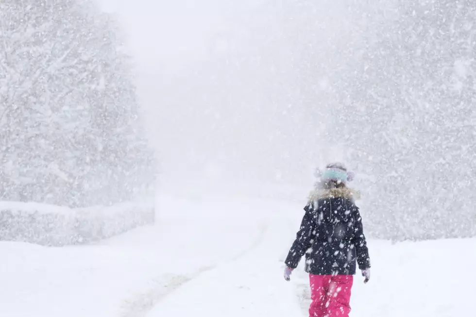
Plowable Snow Storm Likely Thursday-Friday in New Hampshire, Maine, Massachusetts
Here we go, with more snow in the forecast. The further north you go from Boston, the bigger the impact, so get ready to see those snow shovels and snow blowers out again.
Let's start with the biggest punch in this latest snowstorm. When it hits Boston on Thursday late afternoon, it's mostly a rain and sleet event with a couple of inches at most possible along the North Shore of Boston, according to WHDH, and 3-4 along the Massachusetts and New Hampshire border from Haverhill to Lowell and due west.
Meanwhile, as this system moves north, up the Atlantic coastline through New Hampshire and Maine and inland, the snow increases just a bit according to WGME, with shovels, snow blowers, and plows back on duty.
This storm looks like it will be our classic, typical snow producer for New Hampshire, Maine, and Northern Massachusetts, according to WGME. Some messy, icy, wintry mix Thursday afternoon will turn into straight snow and ramp up Friday evening and overnight, when we're all comfortably snuggled up in blankets asleep or doing some kind of binge watching.
When we wake up on Friday, it will most likely be to snow plows clearing our roads to keep up with the snowfall that will continue through Friday afternoon, according to WHDH. Around 3-7 inches are possible, mostly in Southern Maine and New Hampshire with a bit more inland, as always.
The good news, according to WGME, is that this isn't much of a wind event at all, even along the coast.
Now here's something to take note of from WGME and WHDH: while the coast isn't supposed to see more than a dusting to three inches or so, this latest winter storm could increase snow totals a bit as we get closer. That's most definitely not a shock when dealing with Mother Nature in New England.
Great Sledding Places In Maine
It's Illegal to Throw These 5 Items in the Regular Trash in New Hampshire
Gallery Credit: Kira
More From Q97.9


